Color pictorial map of department of Nord, France (which is part of the current Nord-Pas-de-Calais region) covered with vignettes drawings of people and products of the province with explanation, representing region’s historical figures and events, resources, sights, churches, important buildings, people, activities, crops, etc. Includes decorative title cartouche and compass rose. Relief shown pictorially. Published by Ode Paris in 1951 from a drawn by Jaques Liozu.
- Author: Jacques Liozu
- Dimension: 490 x 320 mm
- Place of publication: Paris
- Year: 1951
The environs of Paris, showing the major roads and many of the Royal Forests and Gardens. From ‘Atlante Novissimo’. Very good condition with nice and decorative original colours. [cod.1020/15]
- Author: ZATTA Antonio
- Year: 1779
- Dimension: 310 x 430 mm
- Place of publication: Venice
A map of western France above Cognac and the area around Saumur, with decorative title cartouche.Shows administrative divisions, towns, villages, forests, mountains and rivers. From Atlante Novissimo, illustrato ed accresciuto sulle osservazioni, e scoperte fatte dai più celebri e più recenti cartografi by Antonio Zatta published in Venice in 1779. In very good condition with nice and decorative original colours.
- Author: ZATTA Antonio
- Year: 1779
- Dimension: 410 x 310 mm
- Place of publication: Venice
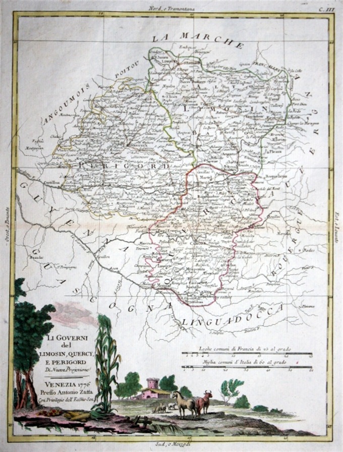
Copper engraving from “Atlante Novissimo, illustrato ed accresciuto sulle osservazioni, e scoperte fatte dai piu’ celebri e piu’ recenti cartografi” by Antonio Zatta published in Venice in 1779. Very good condition with nice and decorative original colours. [cod.1020/15]
- Author: ZATTA Antonio
- Year: 1779
- Dimension: 300 x 380 mm
- Place of publication: Venice


