


The very rare card provides some geographical information on Calvi and surrundings. Published by Nicholas De Poilly in Paris in 1763. A collector’s items. [cod.048/15]
Out of stock
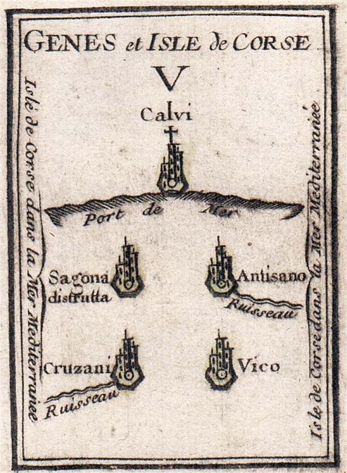
Il cinque del seme della Corsica e Riviera di Genova
The very rare card provides some geographical information on Calvi and surrundings. Published by Nicholas De Poilly in Paris in 1763. A collector’s items. [cod.048/15]
- Year: 1763
- Dimension: 60 x 80 mm
- Place of publication: Paris
Related products
-
![]()
Color pictorial map of department of Nord, France (which is part of the current Nord-Pas-de-Calais region) covered with vignettes drawings of people and products of the province with explanation, representing region’s historical figures and events, resources, sights, churches, important buildings, people, activities, crops, etc. Includes decorative title cartouche and compass rose. Relief shown pictorially. Published by Ode Paris in 1951 from a drawn by Jaques Liozu.
- Dimension: 490 x 320 mm
- Place of publication: Paris
- Year: 1951
-
![]()
The environs of Paris, showing the major roads and many of the Royal Forests and Gardens. From ‘Atlante Novissimo’. Very good condition with nice and decorative original colours. [cod.1020/15]
- Year: 1779
- Dimension: 310 x 430 mm
- Place of publication: Venice
-
![antica mappa sicilia sardegna]()
A very decorative map of Sicily and Sardinia from J.B. Homann’s Atlas Novus Terrarum published in Nuremberg in 1720. In the upper middle is a allegoric large cartouche with the title “Regnorum Siciliae et Sardiniae nova tabula?. Embellished by compass rose, vessels and in the lower left plan of Catania with the famous vulcan Etna erupting and in the right with La Valletta. [cod.087/15]
- Year: 1720
- Dimension: 580 x 500 mm
- Place of publication: Nuremberg
-
![]()
A particularly attractive pictorial map of Normandy, Brittany centered on the Chateaux of the Loire Valley by anonymous author published in 1930 circa. This map is covered with vignettes describing major towns and landmarks along the roads. Includes decorative cartouche, compass rose and inset lovely views illustrating historic architecture and interesting places. Below two inserts describing the Fougères-sur-Bièvre and Langesis Castles. Uncommon.
- Dimension: 24 x 34 cm
- Year: 1930


