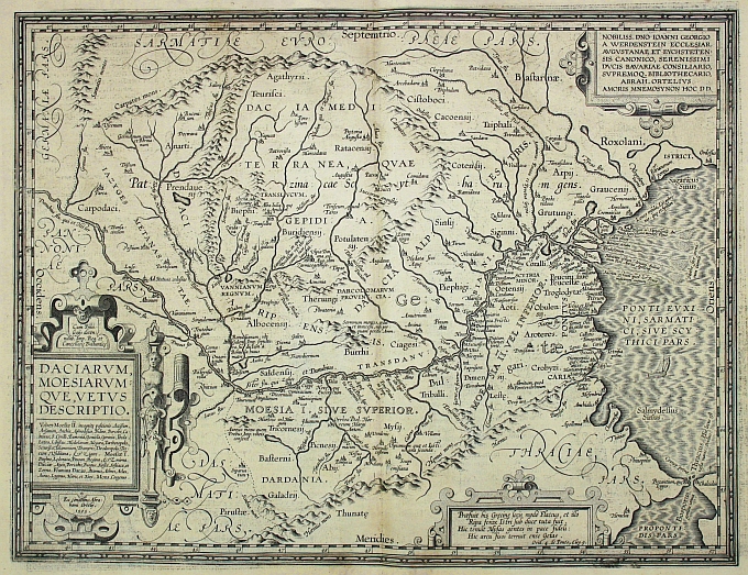
A beautifully engraved map of ancient Hungary compiled by Ortelius from the works of Dionos, Stephanus, Horatius, Suidas, Flavius Vopiscus, Plinius and Strabo. A lovely map with fully engraved seas and a large decorative cartouche. From the 1624 final edition by Balthasar Moretus of the first historical atlas ever published. Ortelius?s Parergon began as a companion to his Theatrum but eventually it became an independent work. In fact, this collection of maps of the ancient world was so significant that it became the model for all historical atlases published throughout the seventeenth century. ?The maps and plates in the Parergon have to be evaluated as the most outstanding engravings depicting the wide-spread interest in classical geography in the 16th century? (Koeman). Unlike the Theatrum, which consisted of existing maps reengraved by Ortelius, the maps in the Parergon were drawn by Ortelius himself. As a scholar of antiquity, a dealer in antiques, and a visitor to ancient sites, he was well prepared to execute the maps and all the maps from the Parergon reflect his passion for the ancient world.
Daciarum Moesiarumque vetus Descriptio
A beautifully engraved map of ancient Hungary compiled by Ortelius from the works of Dionos, Stephanus, Horatius, Suidas, Flavius Vopiscus, Plinius and Strabo. A lovely map with fully engraved seas and a large decorative cartouche. From the 1624 final edition by Balthasar Moretus of the first historical atlas ever published. Ortelius?s Parergon began as a companion to his Theatrum but eventually it became an independent work. In fact, this collection of maps of the ancient world was so signific
- Year: 1624
- Dimension: 352 x 463 mm
- Place of publication: Antewerp


