


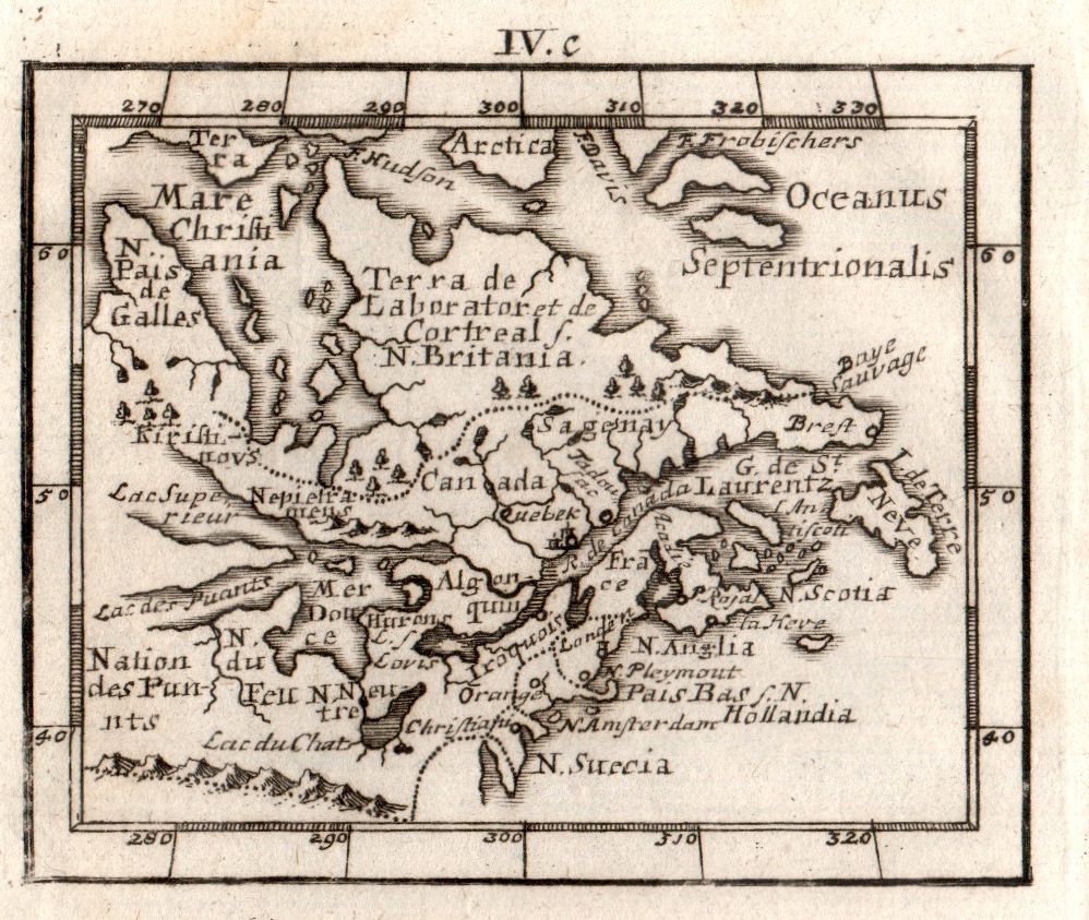
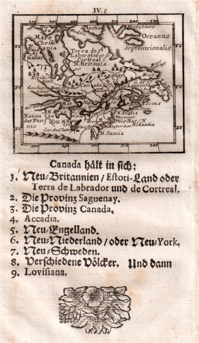
Miniature map from “Neu aussgeffertigter kleiner Atlas” by J. Muller published in Franckfurt in 1702 at Johann Philip Andrea. Showing the Great Lakes, New England and New York. Engraved with great care by G. Karsch e G. Bodeneher. Rare.
Out of stock
Canada
Miniature map from “Neu aussgeffertigter kleiner Atlas” by J. Muller published in Franckfurt in 1702 at Johann Philip Andrea. Showing the Great Lakes, New England and New York. Engraved with great care by G. Karsch e G. Bodeneher. Rare.
- Year: 1702
- Dimension: 70 x 80 mm
- Place of publication: Frankfurt
Related products
-
![]()
Large map by R. Hausermann showing the Catholic Missions in the United States, with an extensive table below listing statistics on the Church in the U.S in 1900. Published by Dufrenoy in Paris, 1900. Strong stable paper with few usual holes/creases where the folds cross. Cfr. Rumsey Collections: 4879000
- Dimension: 71 x 95 cm
- Place of publication: Paris
- Year: 1900
-
![]()
Lovely engraved map based on the cartography by C. Franz Radefeld (1788-1874) showing the Arkansas, Mississipi, Louisiana, Alabama and Florida Panhandle. Inset of New Oreleans suurndings. From the “Meyer’s Neuester Zeitungs Atlas” published by Bibliographischen Instituts in Hildburghausen in 1849-52. The innovation of this work is that almost all maps had small inserts showing richly detailed maps of major cities and their surrunding areas: so not only could travellers carry the atlas with them
- Year: 1849
- Dimension: 270 x 200 mm
- Place of publication: Hildburghausen
-
![]()
A finely copper engraved map by G. Pitteri showing the modern-day nations of Uruguay, Paraguay, and parts of adjacent Brazil and Argentina.. Rich detail is offered throughout, naming mountains, rivers, national boundaries, cities, regions, and indigenous tribes. Identifies Asuncion, Buenos Aires, Rio de Janeiro, and numerous other important South American cities. From Atlante Novissimo, illustrato ed accresciuto sulle osservazioni, e scoperte fatte dai più celebri e più recenti cartografi by Antonio Zatta published in Venice in…
- Year: 1779
- Dimension: 400 x 320 mm
- Place of publication: Venice
-
![]()
Fine example of Coronelli’s map of the Caribbean. Centered on Hispaniola the map shows from the Southern tip of Florida and the Canal di Bahama to the Yucatan, to the Easternmost Antilles and Trinidad. Includes also the Caymans, Virgin Islands and smaller islands of the coast of Mexico. The cartouche also contains a dedication to Sebastiano Bernardi. Vincenzo Maria Coronelli is widely recognised as one of Italy?s most famous and greatest cartographers. He received an…
- Year: 1690
- Dimension: 257 x 430 mm
- Place of publication: Venice


