Canada
Showing all 3 results
-
![]()
An exceptional 1932 bird’s eye view map of the city of Quebec, Canada by Samuel Herbert Maw. The densely filled map displays parks, buildings, named streets and historic notations embellished by numerous coats of arms and a large compass rose. Born in England, Maw was an architect, delineator, etcher, cartographer and designer. After winning the Sloane Medallion from the Royal Institute of British Architects in 1905 and showing at the Royal Academy in London in…
- Year: 1932
- Dimension: 850 x 650 mm
- Place of publication: Toronto
-
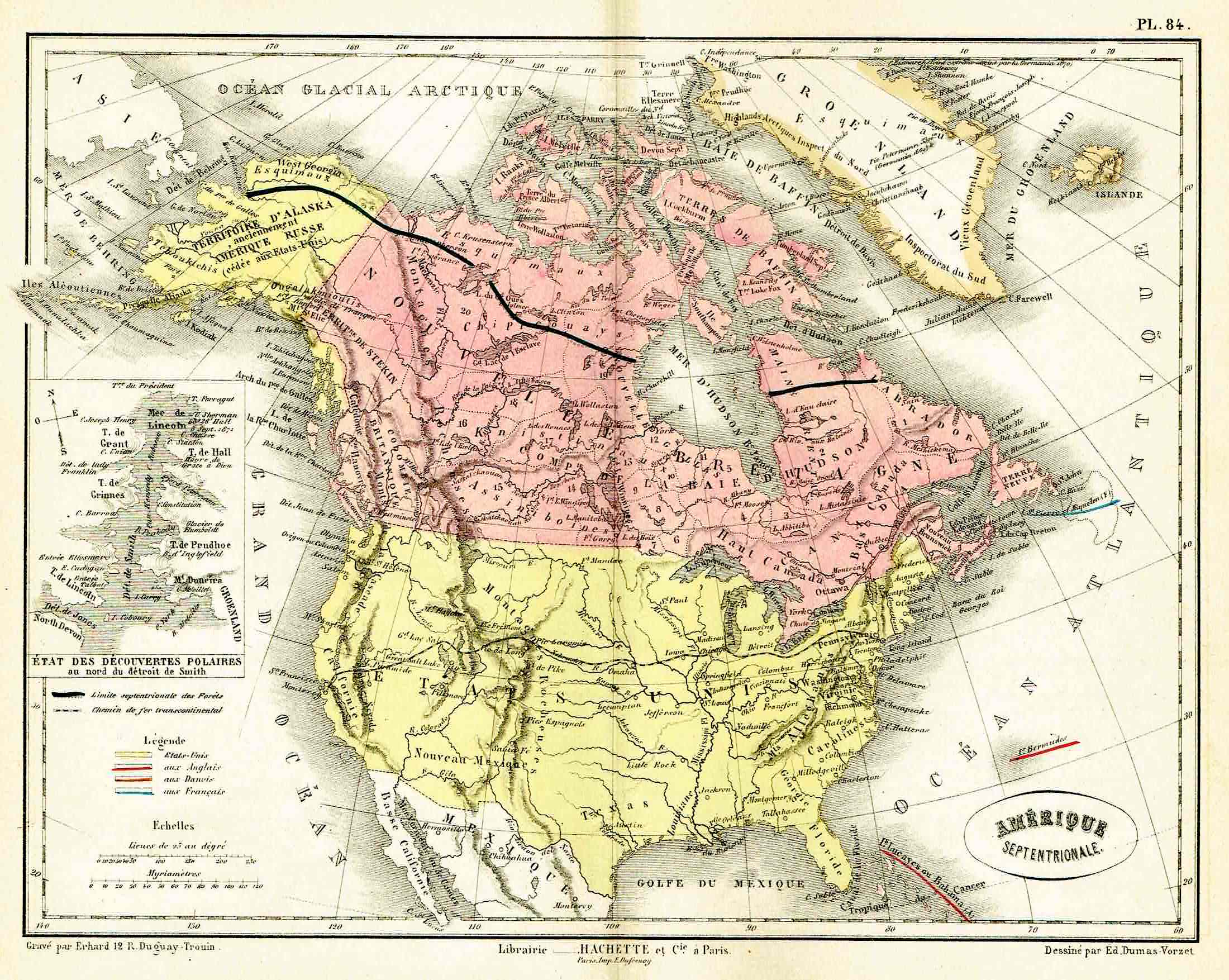
![]()
Lovely map by Eduard Dumas-Vorzet showing in nice details north America and Canada. At left inset the new polar discoveries on the Smith Sounds. From the famous Atlas Universel d’Histoire et de Geographie by Marie Nicolas Bouillet published in Paris in 1877.
- Year: 1877
- Place of publication: Paris
- Dimension: 260 x 200 mm
-
![antica mappa della baia di hudson]()
Rare map of the Northwest Passage, Northern Canada, part of Alaska (America Russa) and Greenland showing the known islands of the Northwest Passage, including several partially known coastlines. From the rarest and most elegant cartographic work by Francesco Celestino Marmocchi, the Corso di Geografia Commerciale published in Genoa in 1858.
- Dimension: 25 x 38 cm
- Place of publication: Genoa
- Year: 1858