


Interesting town plan of the walled city of Nice from the rare Schauplatz des Krieges In Italien, Oder Accurate Beschreibung der Lombardey by Thomas Fritschen published in Leipzig in 1702.
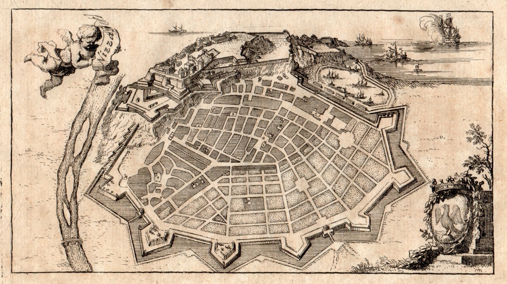
Nizza
Interesting town plan of the walled city of Nice from the rare Schauplatz des Krieges In Italien, Oder Accurate Beschreibung der Lombardey by Thomas Fritschen published in Leipzig in 1702.
- Year: 1702
- Dimension: 75 x 145 mm
- Place of publication: Lipsia
€ 90,00
Related products
-
![]()
Color pictorial map of Franche Comte now Bourgogne covered with vignettes drawings of people and products of the province with explanation, representing region’s historical figures and events, resources, sights, churches, important buildings, people, activities, crops, etc. Includes decorative title cartouche and compass rose. Relief shown pictorially. Published by Ode Paris in 1951 from a drawn by Jaques Liozu.
- Dimension: 490 x 320 mm
- Place of publication: Paris
- Year: 1951
-
![]()
Color pictorial map of department of Nord, France (which is part of the current Nord-Pas-de-Calais region) covered with vignettes drawings of people and products of the province with explanation, representing region’s historical figures and events, resources, sights, churches, important buildings, people, activities, crops, etc. Includes decorative title cartouche and compass rose. Relief shown pictorially. Published by Ode Paris in 1951 from a drawn by Jaques Liozu.
- Dimension: 490 x 320 mm
- Place of publication: Paris
- Year: 1951
-
![]()
Li Governi D’ Angio, del Saumurois, della Touraine, e Poitou, D’ Aunis, e Saintonge, con quello D’ Angoumois. Di Nuova Projezione.
More Info € 150,00A map of western France above Cognac and the area around Saumur, with decorative title cartouche.Shows administrative divisions, towns, villages, forests, mountains and rivers. From Atlante Novissimo, illustrato ed accresciuto sulle osservazioni, e scoperte fatte dai più celebri e più recenti cartografi by Antonio Zatta published in Venice in 1779. In very good condition with nice and decorative original colours.
- Year: 1779
- Dimension: 410 x 310 mm
- Place of publication: Venice
-
![]()
Isola del Re
- Year: 1690
- Dimension: 460 x 270 mm
- Place of publication: Venice


