Lovely engraved map based on the cartography by C. Franz Radefeld (1788-1874) showing part of United States which includes insets of New York City, Philadelphia, Niagara Falls, Albany, Pittsburgh and the Baltimore – Washington DC area. From the “Meyer’s Neuester Zeitungs Atlas” published by Bibliographischen Instituts in Hildburghausen in 1849-52. The innovation of this work is that almost all maps had small inserts showing richly detailed maps of major cities and their surrunding areas: so not only could travellers carry the atlas with them easily, they could also obtain an initial orientation to their destination when they arrived. No other atlas offered anything like this. All the maps in this atlas are superbly engraved, ebellished by many city plans and with fine colouring by hand. All combining to make this the finest “quarto” German atlas of the mid 19th century. Jurgen Espenhorst – Petermann’s Planet – Guide to the great handatlases, 3.1.1
- Sorry, this product cannot be purchased.

Die staaten von New York, Pensylvania, Maryland, New Jersey, Delaware, Virginia
- Year: 1849
- Dimension: 200 x 265 mm
- Place of publication: Hildburghausen
€ 90,00
Related products
-
![]()
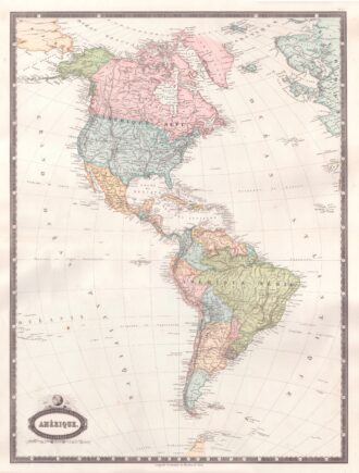
Interesting map of America with high detail and beautiful decorative colouring. The Panama Canal has not yet been built. Colombia is “Nouvelle Grenade” and Alaska is “Amerique Russe”. Much of the Amazon is labeled as “Selvas”, or tropical rainforests, and “Région Inconnue”. From Atlas Spheroidal et Universel de Geographie by M.F.A. Garnier published in Paris at Veuve Jules Renouard in 1862. This atlas is exceptional for its “spheroidal” maps of the globe, showing the various…
- Year: 1862
- Dimension: 680 x 510 mm
- Place of publication: Paris
-
![]()
An attractive miniature map of South America by Thomas Starling from popular Victorian atlas “The Royal Cabinet Atlas, And Universal Compendium Of All Places In The Known World” published by Bull and Churton in London in 1833. The map is accompanied by a page of text giving the latitude and longitude of the major towns.
- Year: 1833
- Dimension: 90 x 145 mm
- Place of publication: London
-
![]()
An attractive miniature map of Chile and Central Argentina by Thomas Starling from popular Victorian atlas “The Royal Cabinet Atlas, And Universal Compendium Of All Places In The Known World” published by Bull and Churton in London in 1833. The map is accompanied by a page of text giving the latitude and longitude of the major towns.
- Year: 1833
- Dimension: 90 x 145 mm
- Place of publication: London
-
![]() Out of stock
Out of stockA finely engraved copper plate map that covers Chili and most of Argentina. Good detail of the region around Buenos Ayres and the Rio de la Plata. Santiago here is named Rioja. A large inset details Tierra del Fuego and the Strait of Magellan. From “Atlante Novissimo, illustrato ed accresciuto sulle osservazioni, e scoperte fatte dai piu’ celebri e piu’ recenti cartografi” by Antonio Zatta published in Venice in 1779. [cod.1020/15]
- Year: 1779
- Dimension: 410 x 315 mm
- Place of publication: Venice