Lovely engraved map based on the cartography by C. Franz Radefeld (1788-1874) showing the whole Asia. From the “Meyer’s Neuester Zeitungs Atlas” published by Bibliographischen Instituts in Hildburghausen in 1849-52. The innovation of this work is that almost all maps had small inserts showing richly detailed maps of major cities and their surrunding areas: so not only could travellers carry the atlas with them easily, they could also obtain an initial orientation to their destination when they arrived. No other atlas offered anything like this. All the maps in this atlas are superbly engraved, ebellished by many city plans and with fine colouring by hand. All combining to make this the finest “quarto” German atlas of the mid 19th century. Jurgen Espenhorst – Petermann’s Planet – Guide to the great handatlases, 3.1.1

Related products
-
![]()
A map of the whole of Asia, with decorative figured cartouche. From ‘Atlante Novissimo’.
- Year: 1779
- Dimension: 305 x 405 mm
- Place of publication: Venice
-
![]() Out of stock
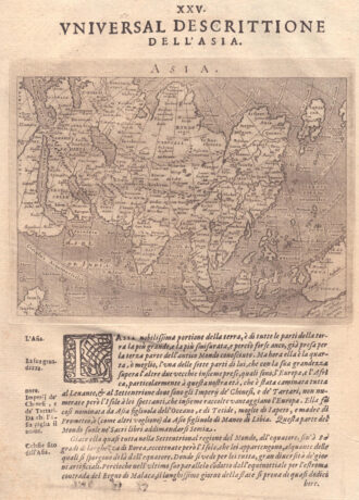
Out of stockA very fine map from the first edition of “Geographia di Claudio Tolomeo” by Girolamo Ruscelli published in Venice in 1561 at Valgrisi. There is a really interesting Italian text on verso that describes the early history and geography of the area. A feature of this first state is that some maps haven’t the platemark at top because two maps were engraved on the same plate and the resulting sheet halved. Ruscelli’s Atlas is an…
- Year: 1561
- Dimension: 180 x 240 mm
- Place of publication: Venice
-
![]()
Charming map of the East Indies covering the coast of Indochina and Malaysia with the Philippines and Indonesia. The west coast of New Guinea is exaggerated and the southern coastline of Java is shown only by a dotted line. From the Mercator Hondius “Atlas Minor” published in Amsterdam in 1648 at Jannsonius with german text on verso. In 1607 Jodocus Hondius published a reduced size version of Mercator’s “Atlas”, itself suitably titled “Atlas Minor”. The maps were copied from those of the great
- Year: 1648
- Dimension: 195 x 145 mm
- Place of publication: Amsterdam
-
![]()
Fascinating map of Asia based on Ortelius’with the exception of the addition of a strait dividing the southern portion of the Malay Peninsula. Interesting depiction of Japan, no sign of the Korean Peninsula. Includes region south of Nova Guinea that is marked as Terrae Incognita Australis, separated from Nova Guinea by a narrow channel. Engraved by Girolamo Porro for “Geografia di Claudio Tolomeo” by Giovanni Antonio Magini published in Padua, 1621.
- Year: 1621
- Dimension: 14 x 18 cm
- Place of publication: Padova