Lovely engraved map based on the cartography by C. Franz Radefeld (1788-1874) showing the whole Asia. From the “Meyer’s Neuester Zeitungs Atlas” published by Bibliographischen Instituts in Hildburghausen in 1849-52. The innovation of this work is that almost all maps had small inserts showing richly detailed maps of major cities and their surrunding areas: so not only could travellers carry the atlas with them easily, they could also obtain an initial orientation to their destination when they arrived. No other atlas offered anything like this. All the maps in this atlas are superbly engraved, ebellished by many city plans and with fine colouring by hand. All combining to make this the finest “quarto” German atlas of the mid 19th century. Jurgen Espenhorst – Petermann’s Planet – Guide to the great handatlases, 3.1.1
- Sorry, this product cannot be purchased.

Related products
-
![]() Out of stock
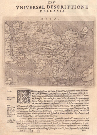
Out of stockLovely engraved map based on the cartography by C. Franz Radefeld (1788-1874) showing India, Tibet, China and Southeast Asia. From the “Meyer’s Neuester Zeitungs Atlas” published by Bibliographischen Instituts in Hildburghausen in 1849-52. The innovation of this work is that almost all maps had small inserts showing richly detailed maps of major cities and their surrunding areas: so not only could travellers carry the atlas with them easily, they could also obtain an initial orientation…
- Year: 1849
- Dimension: 265 x 210 mm
- Place of publication: Hildburghausen
-
![]()
One of the earliest obtainable modern maps of the Holy Land, which appeared in the first edition of Munster’s Geographia, first published in Basle in 1540. Here in the 1552 edition easily recognized by the presence of latitude and longitude borders. The map extends from Sidon and the land of the Phoenians in the north to Gaza in the south with numerous Biblical sites and a number of vignettes. The inset is a key of ancient and modern placenames. This map is orientated with west at the top and is based on earlier maps by Munster and Ziegler. From the rare “Geographia Universalis, Vetus et Nova, complectens Claidii Prolemaei Alexandrini enarrationis libros VIII” published in Basel at Heinrich Petri in 1552.
- Year: 1552
- Dimension: 285 x 378 mm
- Place of publication: Basle
-
![]()
Magnificent Coronelli’s map of the Indian Peninsula, from Guzarat to the Ganges. The map shows India below the Tropic of Cancer, with an insets of Ceylon and Trincomalee. It shows in very nice detail settlements, administrative division, larger towns, place names, rivers and canals. One of the most important and impressive large format 17th Century maps of the area. From the monumental Corso Geografico Universale published in Venice in 1690. Vincenzo Maria Coronelli is widely recognized as one of…
- Year: 1690
- Dimension: 454 x 605 mm
- Place of publication: Venice
-
![]()
Fascinating map of Asia based on Ortelius’with the exception of the addition of a strait dividing the southern portion of the Malay Peninsula. Interesting depiction of Japan, no sign of the Korean Peninsula. Includes region south of Nova Guinea that is marked as Terrae Incognita Australis, separated from Nova Guinea by a narrow channel. Engraved by Girolamo Porro for “Geografia di Claudio Tolomeo” by Giovanni Antonio Magini published in Padua, 1621.
- Year: 1621
- Dimension: 14 x 18 cm
- Place of publication: Padova